
Mjøsa: the largest lake in Norway
Mjøsa is the largest lake in Norway by surface area. It lies in the counties of Innlandet and Akershus, not in Innlandet alone. The main river flowing in is the Gudbrandsdalslågen, and the water leaves through the Vorma. Lillehammer, Gjøvik and Hamar lie on its shores.
Most of the figures below depend on the water level, so numbers can differ a little. Use the table for a safe set of values. If you want to see the lake from the water in summer, read about the Skibladner paddle steamer, timetable and tickets.
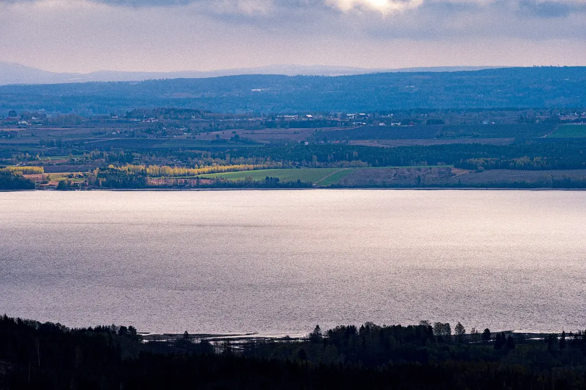
Lake Mjøsa key figures
Size, depth and location at a glance.
| Measure | Value | Note |
|---|---|---|
| Surface area | 369 km² | At the highest regulated water level |
| Length | 117 km | From north to south |
| Greatest measured depth | 449 to 453 m | Depends on the measurement |
| Mean depth | 150 m | Average across the whole lake |
| Height above sea level | About 123 m | Regulated between 119.33 and 122.94 m |
| Volume | 55.361 km³ | 55,361 million m³, rounded to about 56 km³ |
| Fish species | 20 | Including trout, pike, whitefish and perch |
For most purposes, quote 369 km², 117 km and a depth of about 450 m. That holds for both depth figures.
Tours and tickets around Lake Mjøsa
Boat trips, museum visits and day trips around the lake, with live prices and availability.
How deep is Mjøsa?
The greatest measured depth is 449 to 453 m, depending on the measurement, so quote the depth as about 450 m. The mean depth is 150 m, and the volume is 55.361 km³, or 55,361 million cubic metres, rounded to about 56 km³.
The surface sits about 123 m above sea level and is regulated between 119.33 and 122.94 m. That is why the lake's area depends on the water level.
Towns on the shore of Lake Mjøsa
The number of shore municipalities varies a little. These are the ones usually named.
Lillehammer, Gjøvik and Hamar
The three biggest towns on the lake. Read more on the pages for Lillehammer, Gjøvik and Hamar.
Ringsaker
The municipality of Brumunddal, the Mjøstårnet tower and the island of Helgøya, which is officially described as Norway's largest inland island.
Stange, Østre Toten, Hurdal and Eidsvoll
Also counted among the lake's municipalities. Whether Hurdal is included varies, so do not treat the count as final.
The history of Lake Mjøsa
From the paddle steamer to the clean-up of the water.
1856
The Skibladner was built at Motala Verksted in 1854–1856 and entered service on 2 August 1856. It is considered the world's oldest paddle steamer still in scheduled service.
Timber towing
The lake was a transport and timber route. Several tugboats were bought to tow timber across it.
1973 to 1980
The Mjøsa campaign, Mjøsaksjonen, ran to reduce pollution and nutrient inflow, above all phosphorus.
1985
The Mjøsbrua bridge, 1,421 m long, opened on 16 November 1985. An old toll ended after about 10 years. The new E6 bridge is still a plan, not a finished bridge.
A newer landmark is the Mjøstårnet in Brumunddal, 85.4 m tall with 18 storeys and completed in March 2019. See Mjøstårnet.
Water quality, fish and ice
Measurements at the fixed stations in 2024 rated the lake as good with regard to nutrient pollution. That describes nutrients and algae, not bathing water and not drinking water, so do not read it as a clearance for swimming or for drinking the water untreated. Bathing rules and local advice are in our guide to fishing and swimming in Lake Mjøsa.
The fish list includes trout (ørret), pike (gjedde), whitefish (sik), perch (abbor) and lågåsild. Mjøsørret is the local name for the big trout. You do not need a fishing card for the lake itself, but closed seasons and gear rules apply.
The lake does not freeze over completely every year, and the ice cannot be trusted by the calendar. A touring skate event, Mjøsløpet, is announced as a natural-ice event, and its organisers warn about cracks and recommend a helmet.
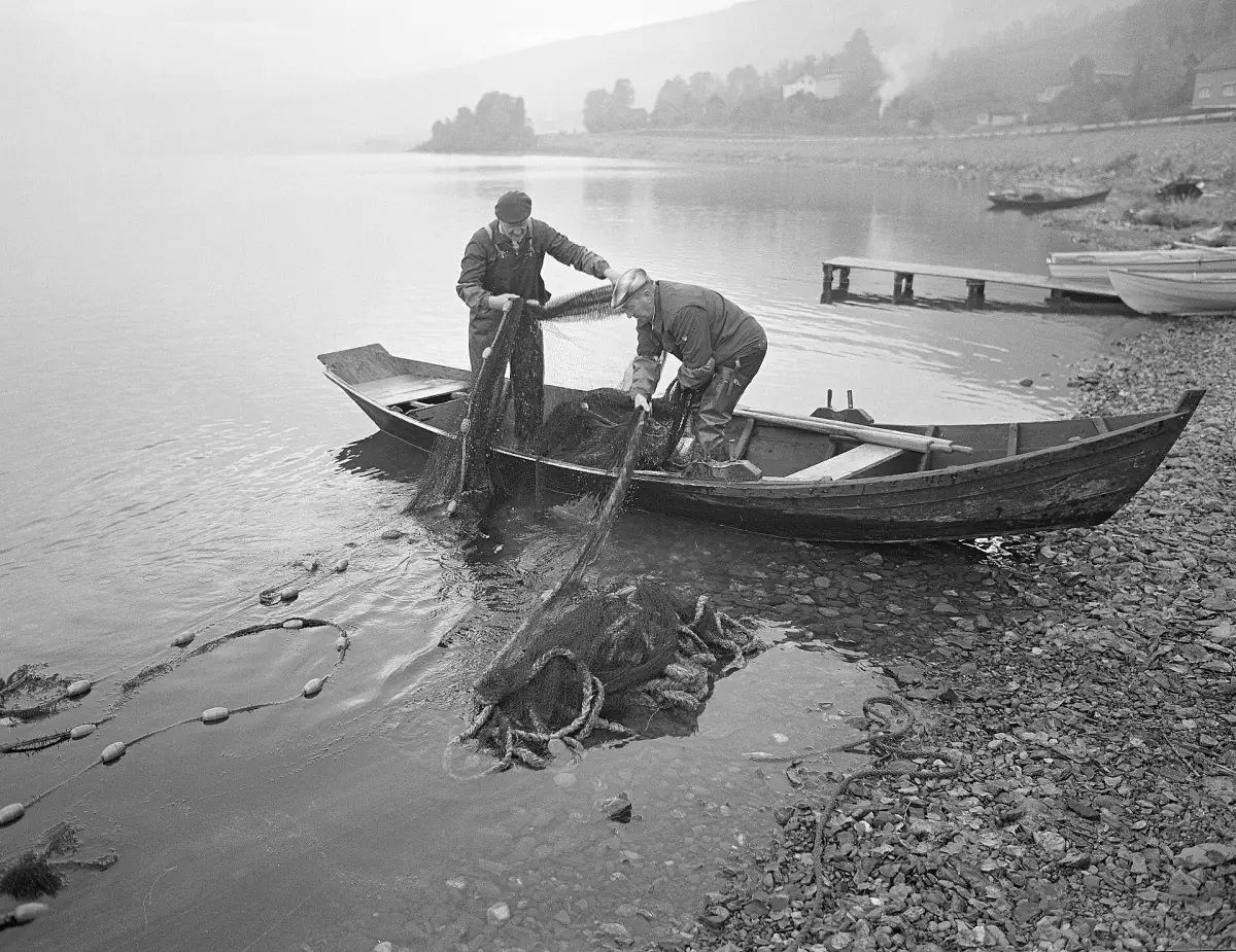
More about Lake Mjøsa
Pages that go deeper into the figures above.
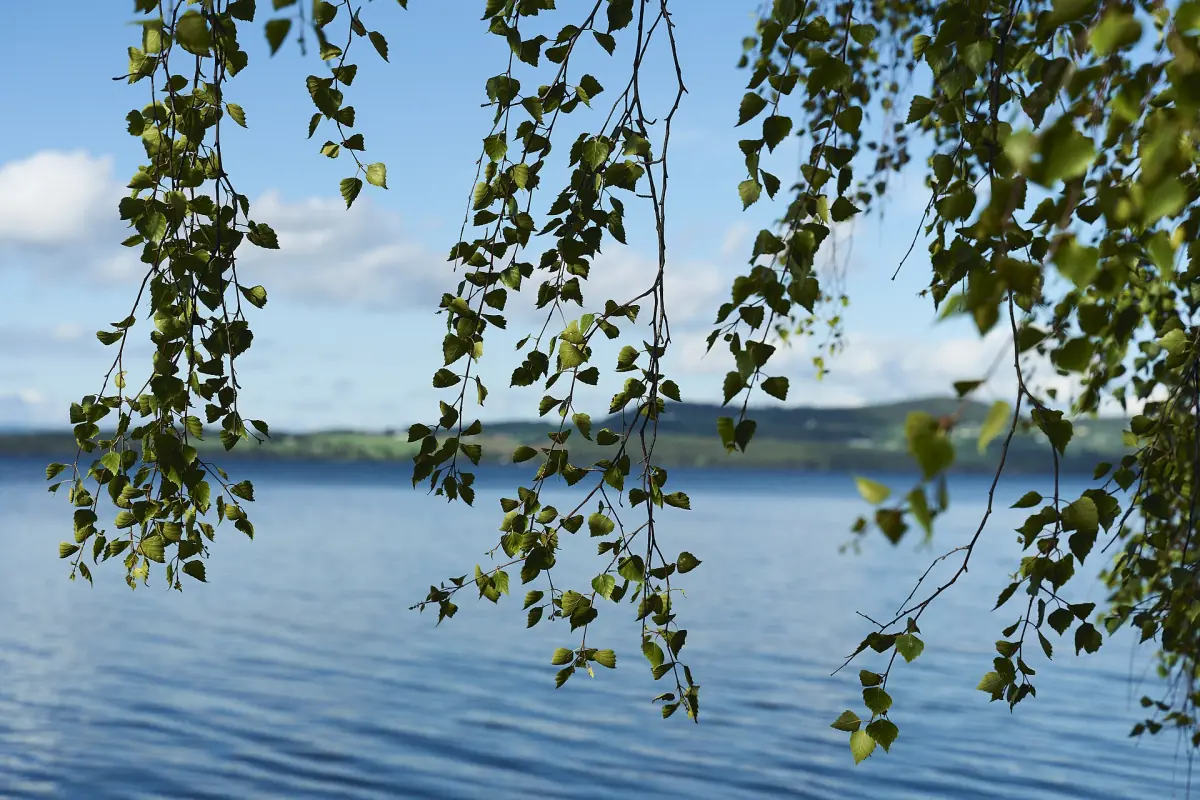
Fishing and swimming
Fishing rules, closed seasons and bathing advice.
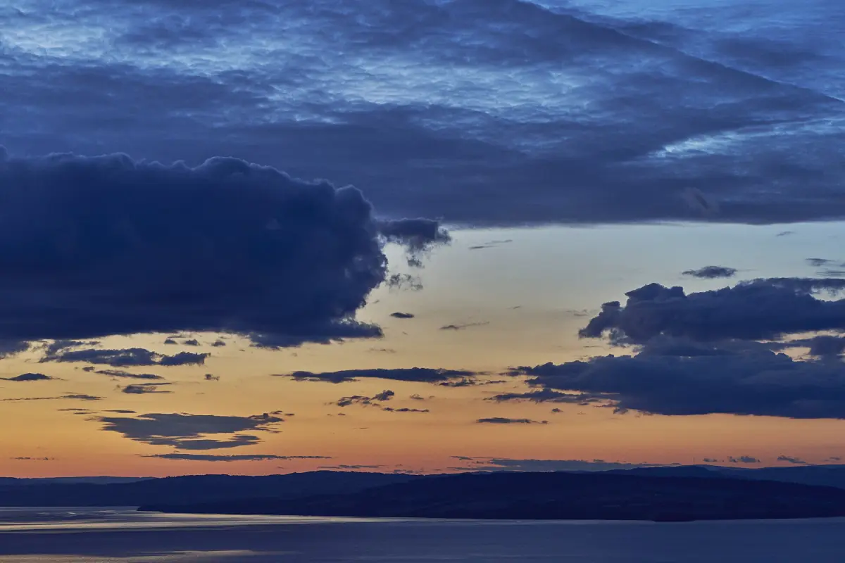
Weather and seasons
What to expect around the lake through the year.
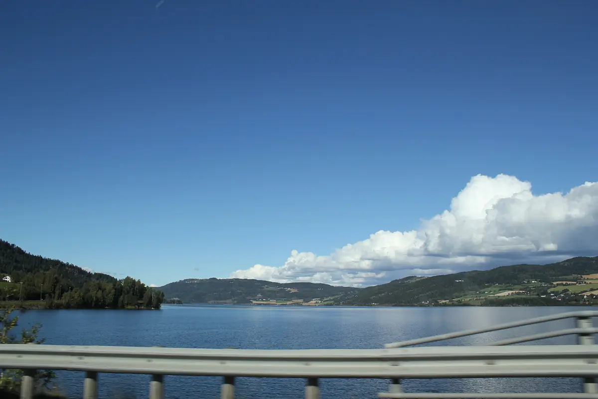
Around the lake
The Mjøsbrua bridge and a trip around the shore.
Planning more of Norway? The Norwegian fjords have their own guide, and so do the Lofoten Islands in the north.
Lake Mjøsa: frequently asked questions
How big is Lake Mjøsa?
The area is 369 km² at the highest regulated water level, and the length is 117 km. It is the largest lake in Norway by surface area.
How deep is Lake Mjøsa?
The greatest measured depth is 449 to 453 m, depending on the measurement. The mean depth is 150 m. For most purposes, about 450 m is a safe figure.
Which regions does Lake Mjøsa lie in?
In Innlandet and Akershus. Hamar, Gjøvik and Lillehammer lie on its shores.
Is the water in Lake Mjøsa clean?
Measurements in 2024 rated the lake as good for nutrient pollution. That is not a bathing or drinking water test, so follow the local bathing advice and do not drink the water untreated.
Is this the official website of Lake Mjøsa?
No. This is an independent guide. It is not run by any municipality or authority, and it is not connected to them.